Navigation settings
This menu describes navigation settings.
Satellite status
This menu is used to accesses information about satellite coverage, current time, longitude, latitude, altitude, quality of the signals received and the status.
- Press [SETUP] button > [Navigation].
|
|
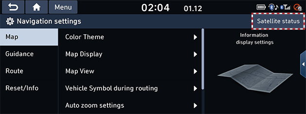
- Press [Satellite status].
|
|
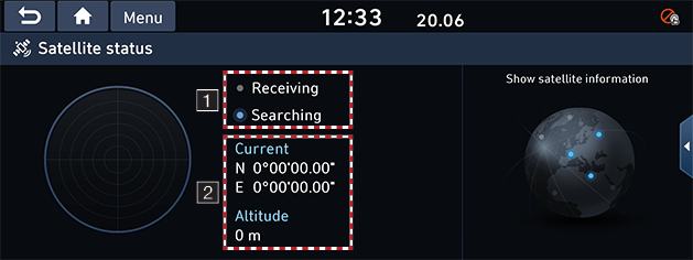
You can check the reception status of the satellite signals. (1)
- Receiving: The system receives a satellite signals and the current position is recognized.
- Searching: The system is scanning the satellite signals.
You can check the current location information. (2)
Map
This menu is used to change the map environment settings.
- Press [SETUP] button > [Navigation] > [Map].
|
|
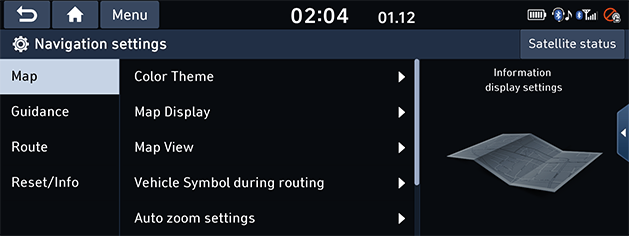
- Select the desired item.
- [Color Theme]: Sets the map colour.
- [Map Display]: Set to display the font size or traffic conditions on the map in color.
- [Map View]: Set to display the 3D buildings in the map.
- [Vehicle Symbol during routing]: Set the vehicle symbol type displayed during routing.
- [Auto zoom settings]: Sets the map scale to be adjusted automatically based on the vehicle speed.
- [Return to map]: Selects the desired time to switch automatically from radio/media.
- [Automatic return after scrolling]: Sets the system to return to the current position from the other position automatically.
Guidance
This menu is used to change the guidance settings.
- Press [SETUP] button > [Navigation] > [Guidance].
|
|
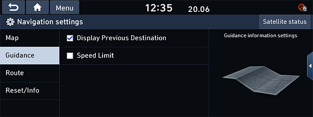
- Select the desired item.
- [Display Previous Destination]: Changes the previous destination view setting when starting navigation. When this is selected and when navigation is started without a route planned, a list of previous destination will be displayed.
- [Speed Limit]: Sets whether to display the speed limit or not.
Route
This menu is used to change the route settings.
- Press [SETUP] button > [Navigation] > [Route].
|
|
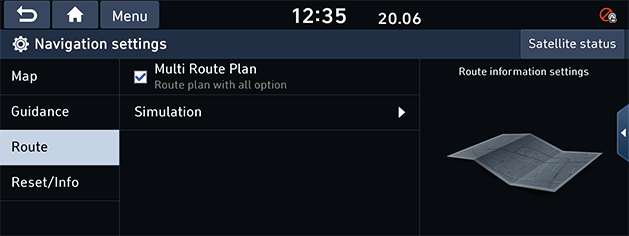
- Select the desired item.
- [Multi Route Plan]: Multi route search can be set via setting.
- [Simulation]: This function allows the user to simulate a route guidance when a route is set.
- [M]/[d]: Pauses or plays the driving simulation.
- [X]: Ends the route guidance simulation.
- [d]/[a]: Indicates the simulated button for the destination or a line of information about the destination.
- [Nomal], [Fast], [Slow]: Sets the speed of route guidance simulation.
- [c]: Moves to the previous section.
- [v]: Moves to the next section.
Reset/Info
This menu is used to reset all navigation settings or to check version information.
- Press [SETUP] button > [Navigation] > [Reset/Info].
|
|
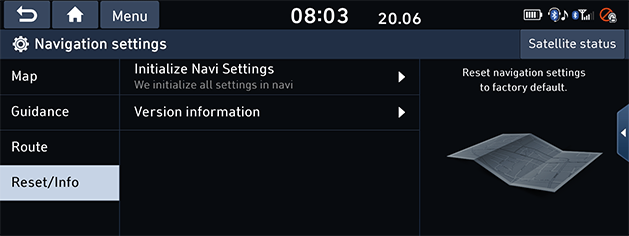
- Select the desired item.
- [Initialize Navi Settings]: This menu is used to reset all navigation settings.
- [Version information]: You can view application and map data versions.